General Sir John Kotelawala Defence University – Southern Campus
Research
This course aims to provide the exposure to undergraduates on the basic research knowledge and skills in producing a research thesis including the planning and conducting data collection, data processing and analysis to address the project aims and objectives and making conclusions to find solutions to a real world problem and finally present the research study by formulating thesis and a scientific paper as an individual task.
Research Areas
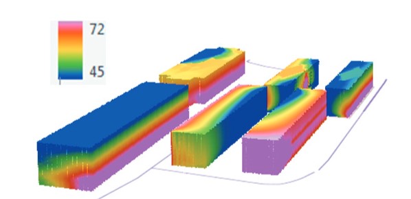
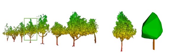
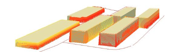
Surveying / Drone
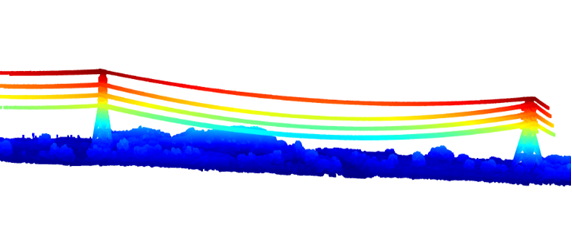
GNSS / Deformation Monitoring
Construction Surveying
Hydrography and Ocean Mapping
GIS / 3D GIS
Cartography / Digital Mapping
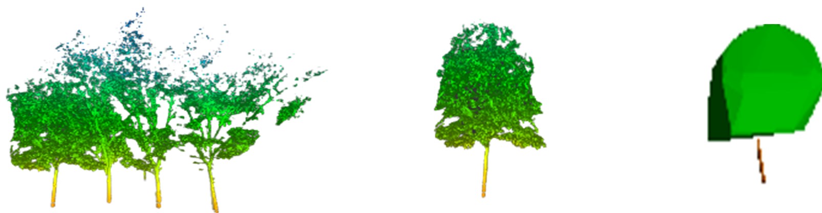
Remote Sensing / LiDAR
Land Management
3D Cadastre
Environmental Monitoring and Application
Climate Changes
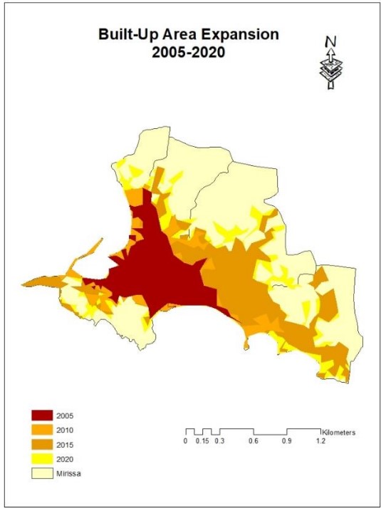
Smart Cities
Green Buildings
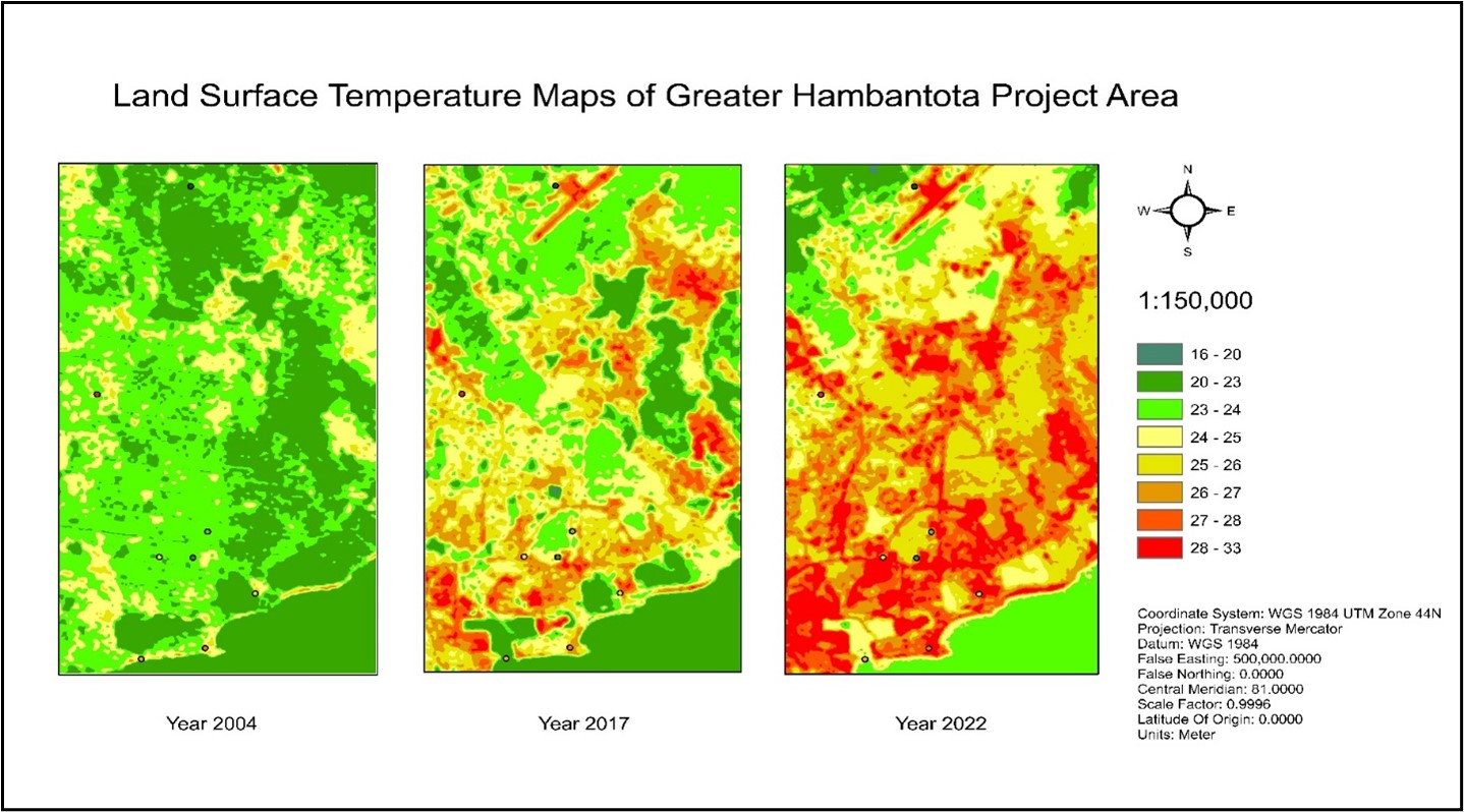
Urban Heat
Environmental Pollution
Water Quality and Management
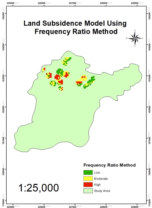
Land Slide / Flood / Land Subsidence
At the completion of this course student will be able to:
identify suitable principle and techniques in solving problems through literature review.
develop the Methodology to achieve each objective.
develop management skills related to research work.
develop critical thinking.
work independently and collaboratively with other undergraduates and organizations.
present deliverables through both scientific writing and oral methods.