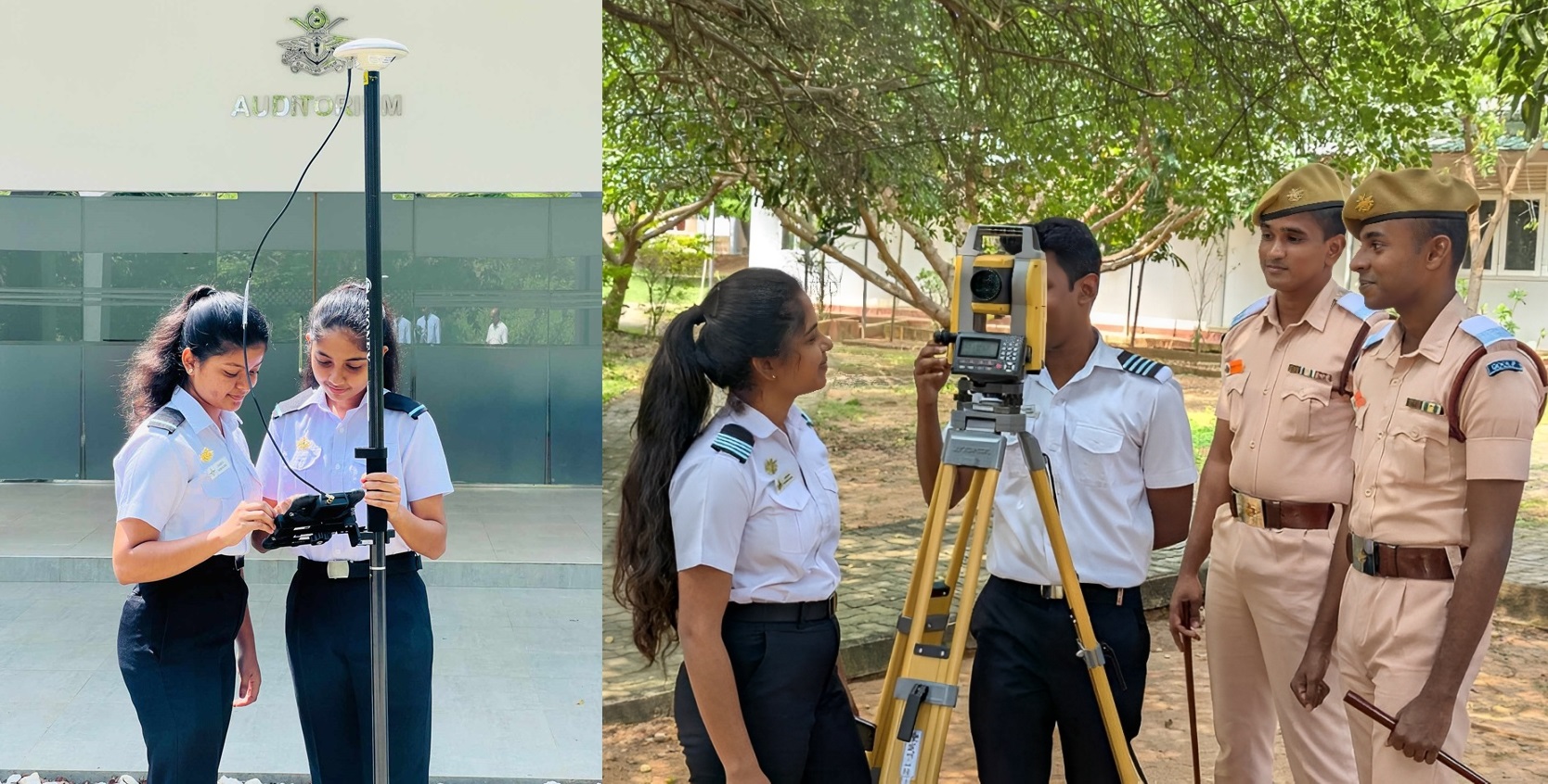
The Department of Spatial Sciences was established in the year 2015 to produce graduates who will acquire an advanced level of education including both specialist knowledge and general intellectual and life skills that prepare them for gainful employment in the field of Geospatial and other related disciplines nationally and internationally. Currently, this department offers two degrees named B.Sc. (Hons) in Surveying Sciences and B.Sc. (Hons) in Geoinformatics degrees, to produce graduate who has a sound knowledge and competency in geo-measurement capturing, processing, interpretation, analysis and presentation of terrestrial, oceanic, airborne and spaceborne geo-spatial data for scientific and professional needs in sustainable, rational, innovative and creative manner as professionals as well as responsible and accountable citizens.